
VexcelVexcel
Technology & AI
Ground truth to train and ground your models
Point models at measured imagery and elevation — answers you can verify against the real world.
Explore Technology & AI
Insurance & Risk
Underwrite and respond on verified ground truth
Assess every property from current imagery and respond to catastrophes in hours — not sampled site visits.
Explore Insurance
Utilities
See the whole network from above
Monitor poles, lines, towers, and vegetation encroachment across the entire footprint from current aerial data.
Explore Utilities
Government
A current, verifiable picture of the ground
One consistent record for assessment, planning, transportation, and emergency response.
Explore Government
Energy
Monitor every asset in the field
Site, measure, and track generation and transmission assets remotely — over time.
Explore Energy
AEC
Measure sites without the survey crew
Measure sites and track progress from photogrammetric-grade aerial capture.
Explore AEC
Mapping & Autonomy
Build living maps
Refresh from a fleet flying 100,000+ images a day, queryable by meaning.
Explore Mapping
Explore Mapping
Request a Demo ↗☰

The Foundation of
Real World AI

AI can generate worlds. It cannot see the real one. Vexcel provides the ground truth for decisions and systems that depend on reality. We are teaching AI to see.

Used billions of times a day

The world already runs on Vexcel.

Open a map app. Hail a ride. Ask your AI assistant about a place. Vexcel imagery and data already power these everyday moments. It’s the ground truth companies and governments around the world rely on to understand the real world.

45+ Countries50 US States
The problem

AI can generate worlds.We help it seethe real one.
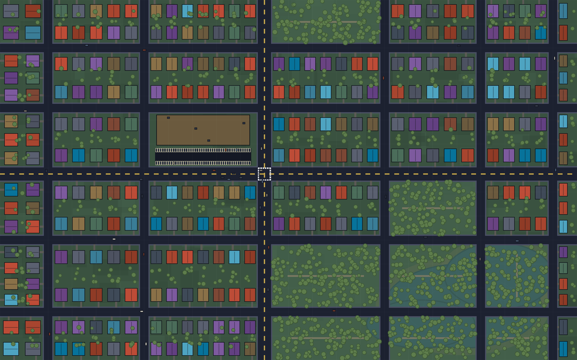
Computer-generated aerial ortho — what an AI hallucinates when it has no ground truthGenerated
The model's world: Plausible, fluent, and impossible to verify against anything real.
Real aerial imageryVexcel Ground truth
The real world: Collected from aircraft. Regularly refreshed. Verifiable in remarkable detail.
Real World AI in action

Beyond imagery. A queryable world.

Ask in natural language. Get answers grounded in verified, current ground truth — not object detection, understanding.
POST /v2/intelligence/query Live
flat roofs over 10k sq ft with no replacement in 5 yearsAsk
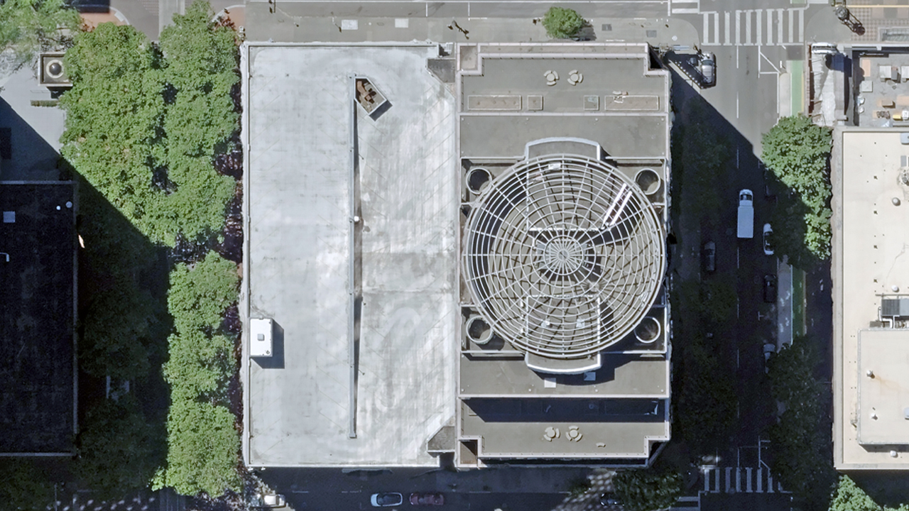
Aerial result imagery with contextual insight
Insightconf 0.92
Flat roof, ~12,400 sq ft — no replacement detected in 5 years of imagery.
Insightconf 0.88
Unobstructed south-facing exposure — strong candidate for rooftop solar.
Reasoned answergrounded
Meets all criteria. Answer traced to current, verifiable imagery — explainable, not hallucinated.

Semantic search

Query concepts and conditions, not just objects.

e.g. flat roofs over 10k sq ft, no replacement in 5 yrs

Contextual reasoning

Understands intent and the relationships between things.

Current ground truth

Grounded in fresh, verifiable imagery — explainable and reviewable, not hallucinated.

Custom Elements NEW

Every object. On demand.

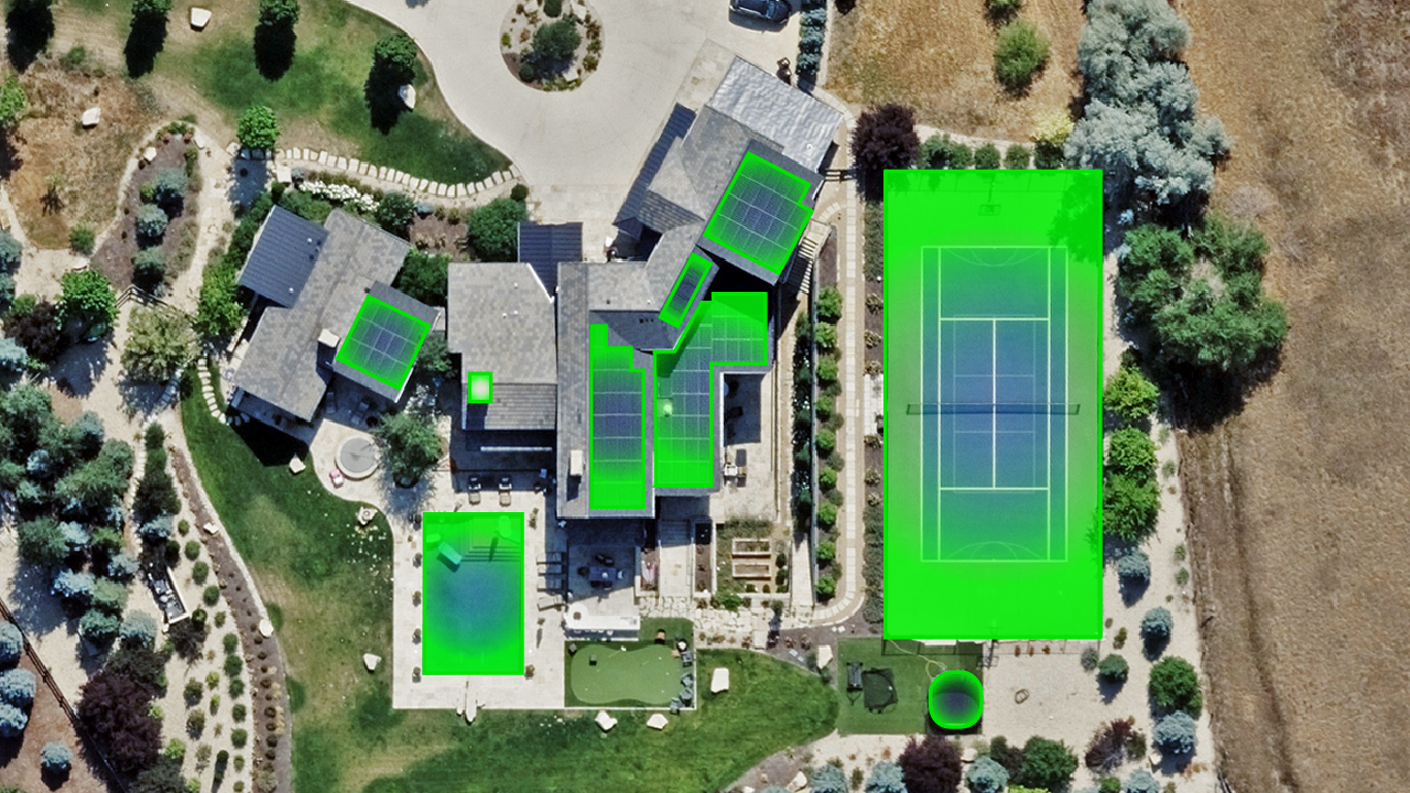
Train a detector on anything in Vexcel imagery in minutes — putting greens, propane tanks, ADA parking spots, driveways, telephone poles. No model to build. No dataset to label. You choose the target; the platform does the rest.

01

Draw a region.

Sketch a polygon on the map. Studio scans every pixel inside it.

02

Search semantically.

Cast a wide net across a coverage area with embeddings — then extract inside every hit.

03

Upload a list.

Bring a CSV of locations. Studio runs detection at each one and returns geo-bounded results.
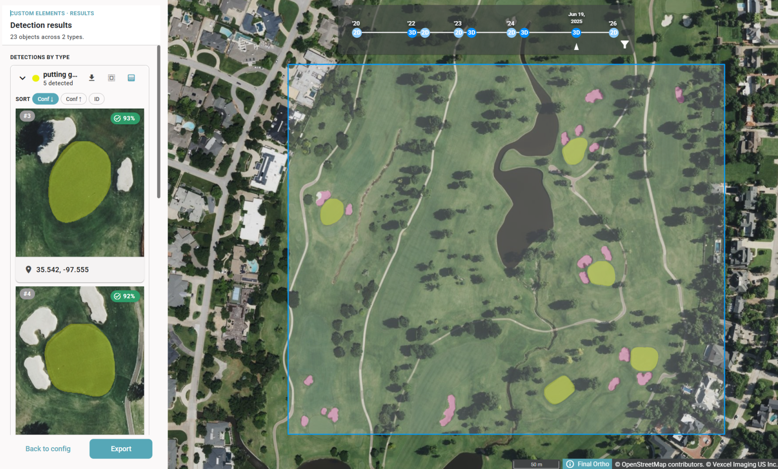
Vexcel Intelligence Studio detecting putting greens and sand traps on a golf course
> find putting greens, sand traps Putting greens · 5 Sand traps · 1823 objects · 2.4 s
Real World AI in Action

From finding objects to understanding more.

Vexcel turns its high-res aerial imagery into something AI can understand. Ask anything. Find anything. Search for objects, changes concepts, conditions, and relationships across the real world, with every answer grounded in what's actually there.

Semantic Search

Ask anything.

Go beyond what's visible at a glance. Use semantic search to explore the real world, connecting imagery, context, and time to answer more complex questions.

Object Detection

Find anything.

The real world is full of things that matter. Find objects across high-resolution imagery, from individual properties to entire cities and regions.

The Vexcel Stack

One company.
End-to-End
Real World AI.

We don't license reality — we build it, from the cameras that capture the world to the intelligence that understands it.

Solutions

Ground truth for the systems that shape the physical world.

For AI builders

Ground your models in fact.

ChallengeModels and apps reason about places they have never actually seen.
With Real World AIGround every answer in current, measured imagery and elevation — verifiable against the real world.
Explore Technology & AI Platforms
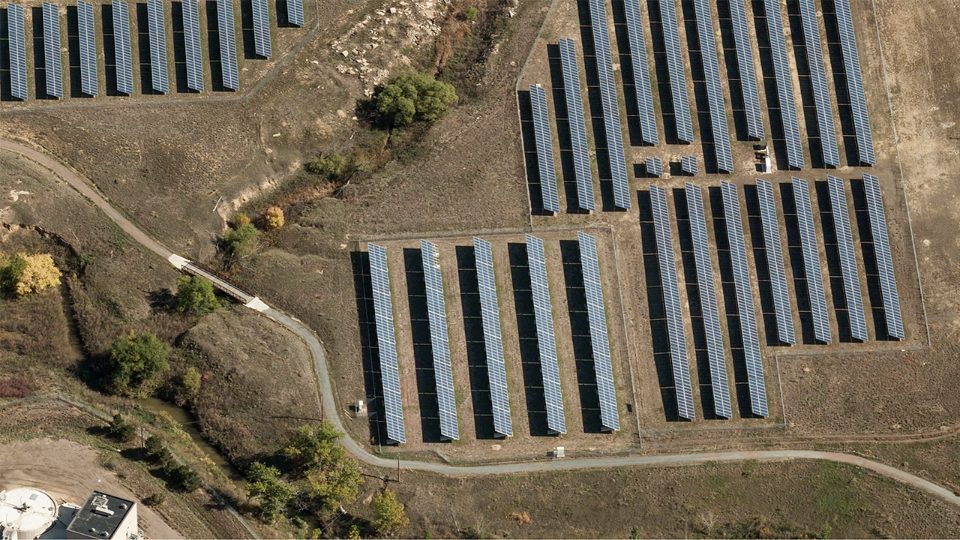
Aerial imagery — Technology & AI
For insurers

Underwrite with total confidence.

ChallengeUnderwriting decisions made on stale, sampled site visits.
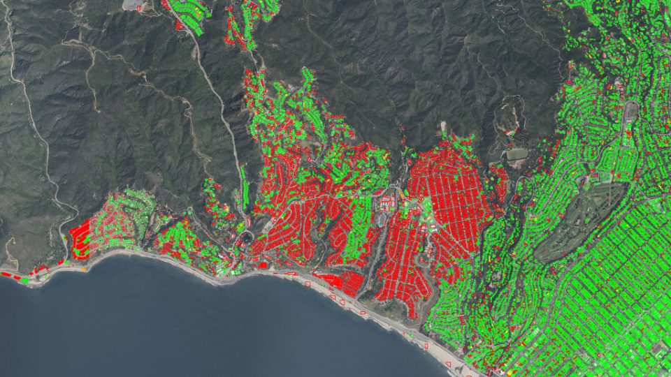
With Real World AIScore every property from fresh imagery, with 24–48hr post-catastrophe capture.
Explore Insurance & Risk
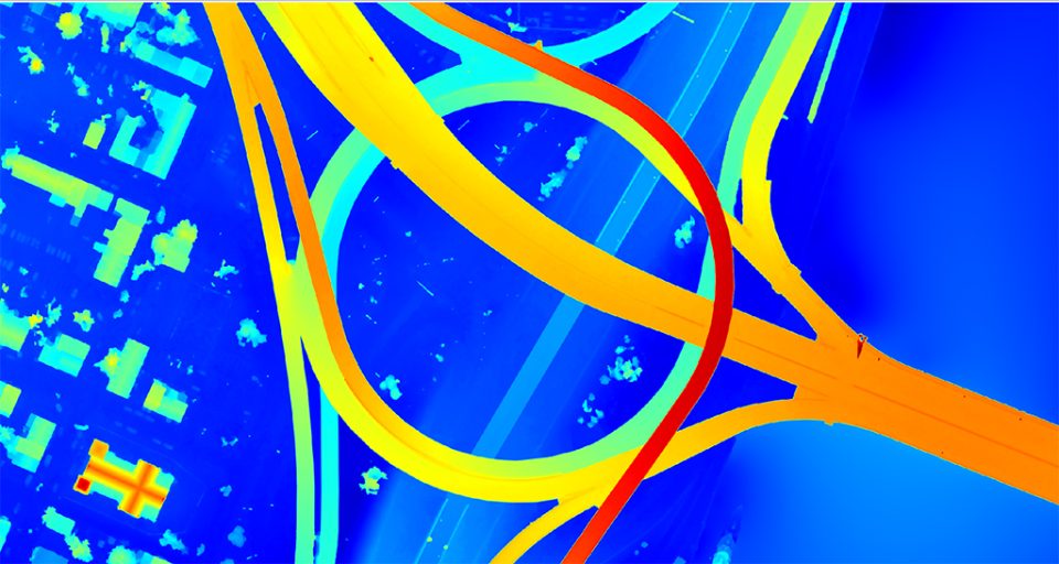
Aerial imagery
For network operators

See the whole network from above.

ChallengeNetwork assets inspected by truck roll, one span at a time.
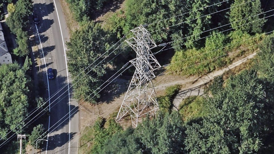
With Real World AIMonitor poles, lines, and vegetation encroachment across the whole footprint from the air.
Explore Utilities & Telecom
Aerial imagery
For the public sector

Situational awareness at scale.

ChallengeDecisions made without a current picture of the ground.
With Real World AIA consistent, verifiable record for planning, response, and situational awareness.
Explore Government & Public Safety
Aerial imagery
For energy operators

Monitor every asset in the field.

ChallengeSite assessment and monitoring that cannot keep pace with the field.
With Real World AISurvey generation and transmission assets remotely — sited, measured, and tracked over time.
Explore Energy
Aerial imagery
For AEC teams

Measure sites without the survey crew.
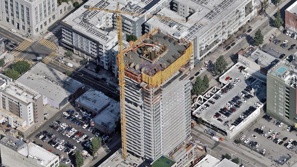
ChallengeSite conditions captured by manual survey, already out of date.
With Real World AIMeasure sites and track progress from photogrammetric-grade aerial capture.
Explore Construction & Engineering (AEC)
Aerial imagery
For mapping platforms

Build living maps.

ChallengeMaps go stale the moment they ship.
With Real World AIRefresh from a fleet flying 100,000+ images a day, queryable by meaning.
Explore Mapping & Location Platforms
Aerial imagery
Who we serve

How the world's leading industries ground truth the physical world.

Dozens of industries trust Vexcel. Our real-world solutions shape the decisions and products they create around the natural and human-built world.

Insurance

Better understand recent property conditions for underwriting, claims, and risk assessment across the portfolio.

Frontier AI

Foundational data for the models and systems learning to understand the physical world at scale.

Utilities & Energy

Inventory assets, monitor vegetation, and analyze infrastructure across electric, solar, and other energy operations.

Government

Plan, assess, track changes, and coordinate emergency response with accurate data for local, state, and federal agencies.

Mapping and Autonomy

Reality data for the autonomous systems that navigate, route, and reason about the physical world.

AEC

Start infrastructure and building projects grounded in highly-accurate imagery and elevation data.

By the numbers

Remarkable Detail at Massive Scale

7.5cm
Imagery resolution
Sharp enough to read a roof seam from altitude.
Aerial view of Copenhagen, Denmark
55.677405, 12.598424Copenhagen, Denmark
45+
countries & Territories
99.6%
U.S. population COverage
150,000+
80+
AI attributes
10+ yr
temporal depth
450+
UltraCam systems
90%+
US property insurers
Trust & scale

Relied on where being wrong is not an option.

90%+
of US property insurers
Plus governments and the cloud & AI platforms building on physical reality.
[Testimonial placeholder — a strong single quote from a partner, attributed by role/title only. To be supplied by marketing.]
Head of Risk, a top-5 US property insurer[placeholder]
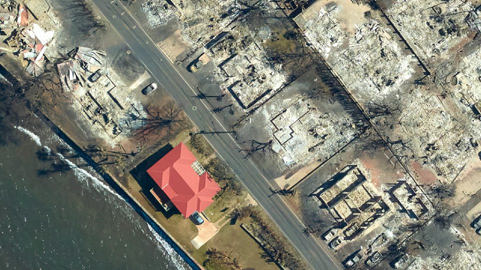
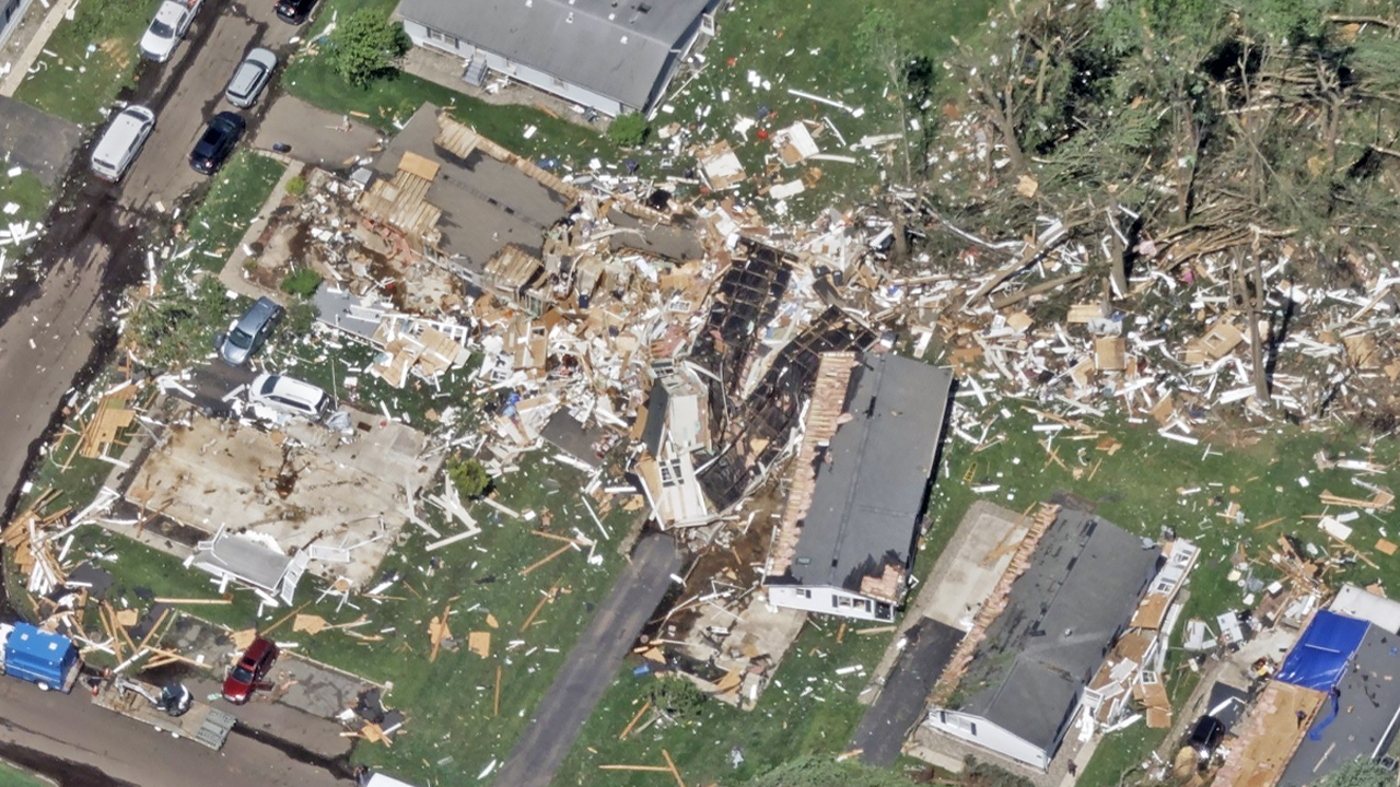
Post-catastrophe aerial capture of tornado damage
24–48 hrGray Sky · post-event capture
Built for regulated environments
SOC 2 Type IIISO 27001GDPR-compliantCJIS-ready
10+ yr
verifiable archive
The vision

Building AI’s memoryof the physical world.

A living, queryable, persistent Digital Twin of Earth — updated constantly, verifiable against reality. This is Real World AI, and we’re just getting started.

Get started

Build Your
Real-World Future

From the sky to the ground, Vexcel gives you the technology, imagery, data, and intelligence to see more, know more, and build what’s next.

Thank you! Your submission has been received!
Oops! Something went wrong while submitting the form.